Clément Molin
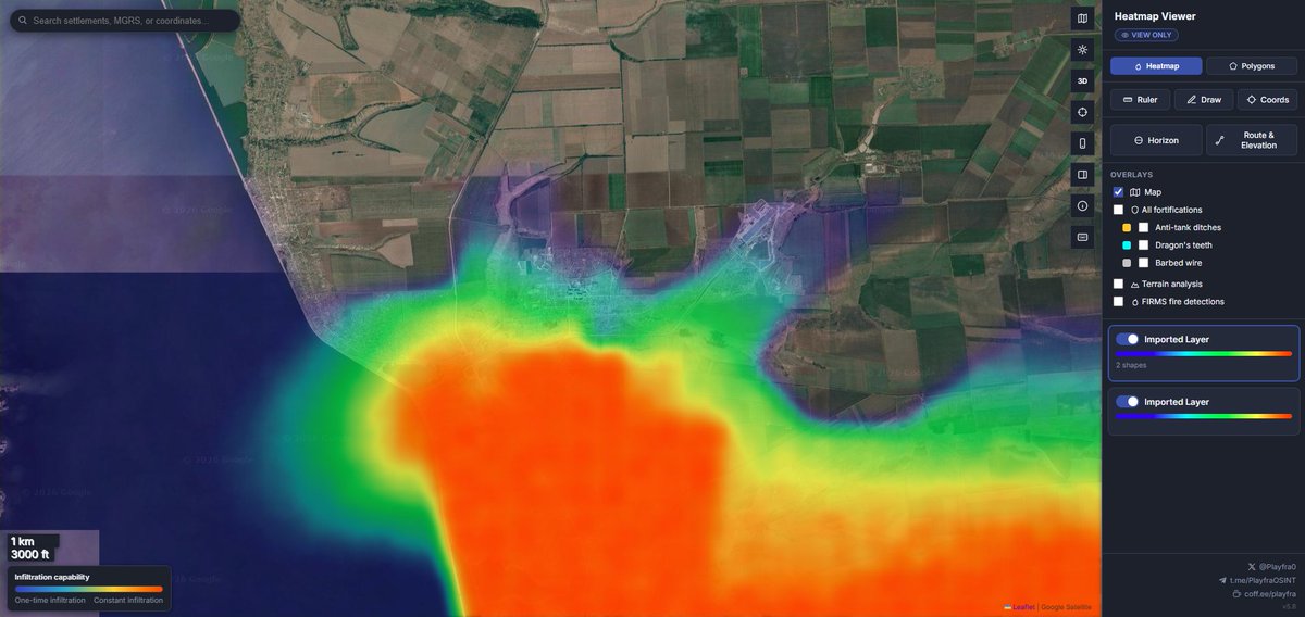
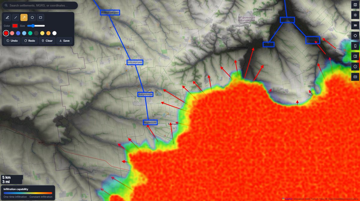
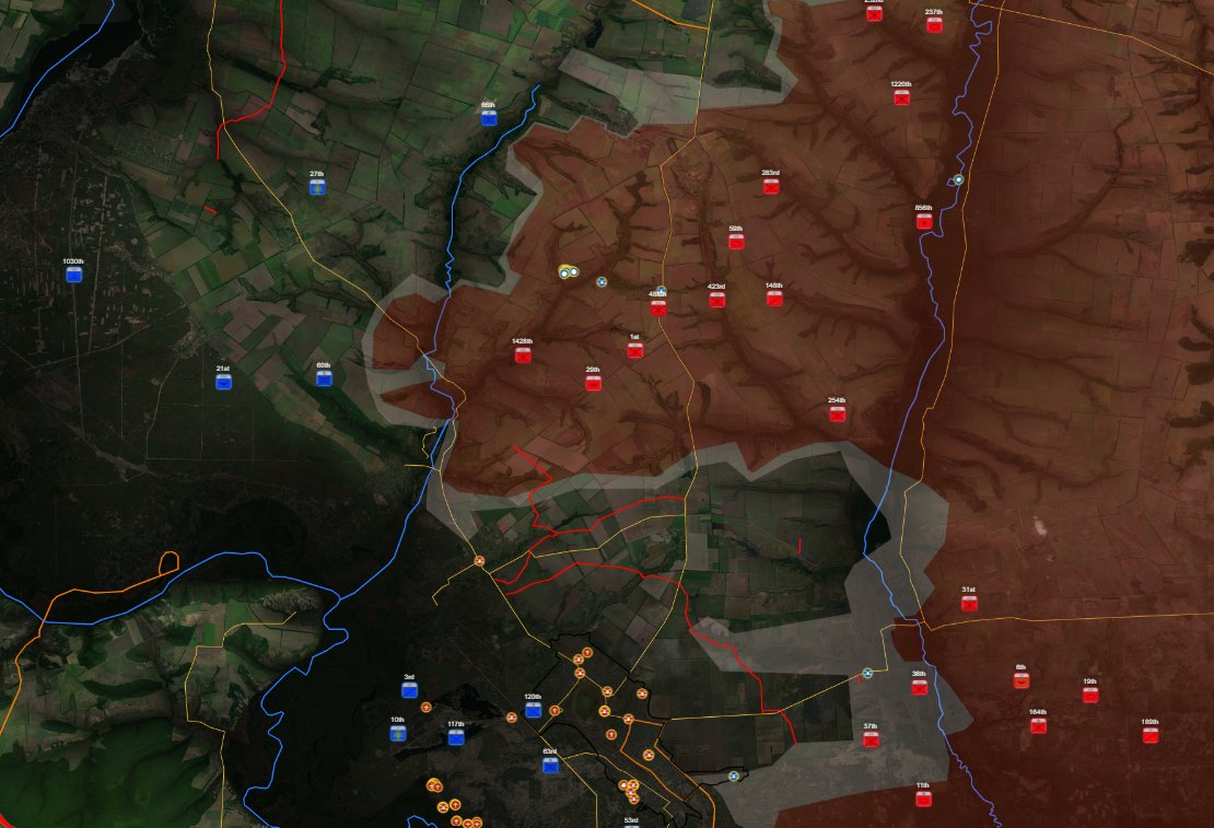
Tonight, I want to share two very useful tools to follow the war in Ukraine 🇺🇦🇷🇺 ➡️@M0nstas (map 1 and 4) made a very good map gathering plenty of data, including unit positions, different frontline maps, strike data, features (roads, rivers, railways, fortifications). I like to add the grey shadow to show how large the kill zone is. ➡️@Playfra0 (map 2 and 3) just updated his map. It has some interesting and good looking tools, including a good fortification map, topographic data and two kinds of maps, polygons and heat map, which is interesting how infiltrations spills. Both mappers are good OSINT accounts to follow, they create and gather sourced data and made useful websites that I use/will use when I have no time to create my own maps.

Playfra
Hi everyone, new map here! 🗺️ http://playframap.github.io ❗️ The map is in the early work-in-progress stage; expect a lot of bugs and performance issues, but I'm working on that! ❗️ Make sure to click on the info button and read the information contained there! The new map features: 🔹 Heatmap & Polygon-based visualization 🔹 Complete UI rework 🔹 Horizon finder, route planner, and elevation chart tools 🔹 Terrain analysis mode (topography) 🔹 On-site FIRMS fire analysis 🔹 On-site layer manager 🔹 Mobile version 🔹 3D view 🔹 Reworked search function, supporting settlement names, WGS-84, MGRS, and other coordinate types 🔹 Imagery manager 🔹 A ton more functions that I'm planning to add very soon! 🗒️ Feel free to comment any type of feedback and tips; I will find it very valuable!