Postholer - GIS Resources
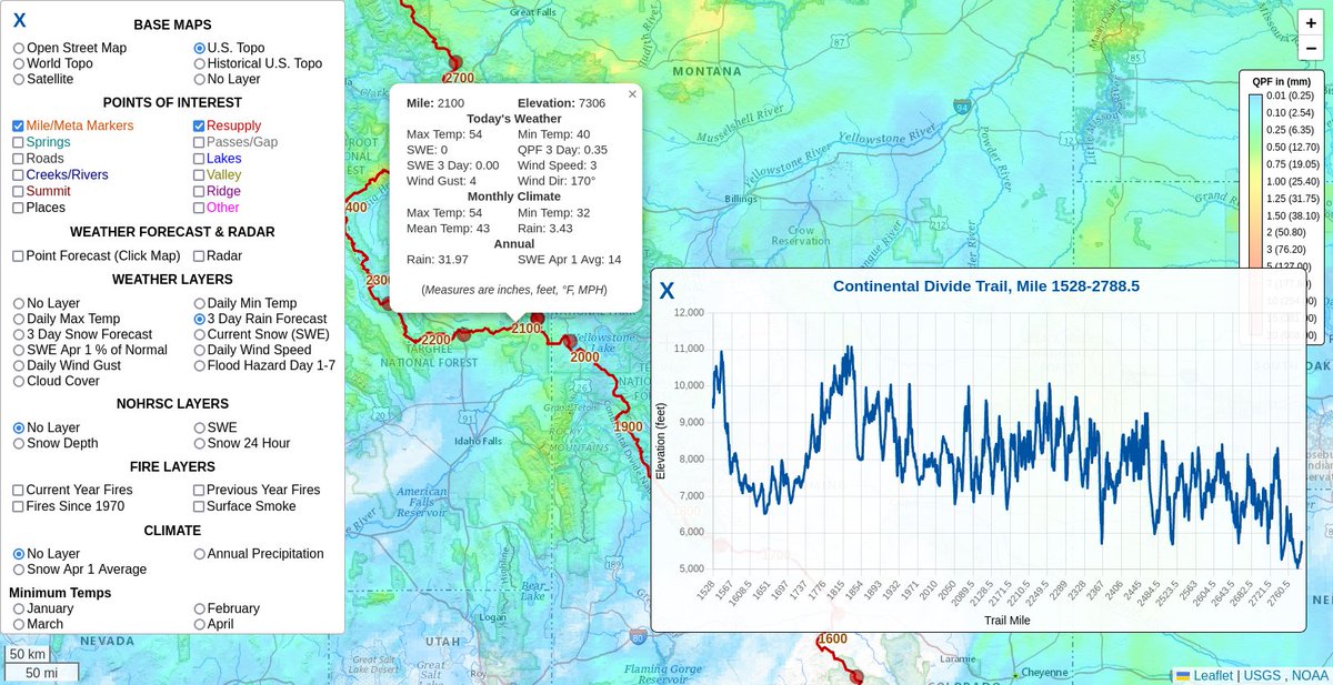
After 16 years of Google Maps API, WMS/WFS/WMTS, we're finally rolling out our cloud native map that uses @cogeotiff, @flatgeobuf, @LeafletJS your browser and nothing else. Read about it: https://www.postholer.com/articles/Next-Generation-Interactive-Maps Try it: https://www.postholer.com/map/Continental-Divide-Trail/44.422011/-109.506226/7/ndfdqpfagg,meta,resupply #gis #gischat @pctnews @foss4g